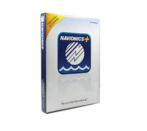
Description
?Nautical charts for Canada and Alaska.
Freshest data free daily updates for one year Registration within 2 months of purchase).
SonarCharts : HD bathymetry map that can be enhanced.
Comunity Edits : Valuable information added by the Navionics community.
Some lakes available in HD.
Port plans and detailed info on port services.
Up to date underwater structures including bridges, stumps, streams, shorelines updated wiith indications (access ramps, piers, etc.).
Comprehensive tide and current database.
Coastal points-of-interest with fone numbers.
Familiar and interactive display.


